NEWS received from
Lisa Luna (USGS, USA)
Dear colleagues,
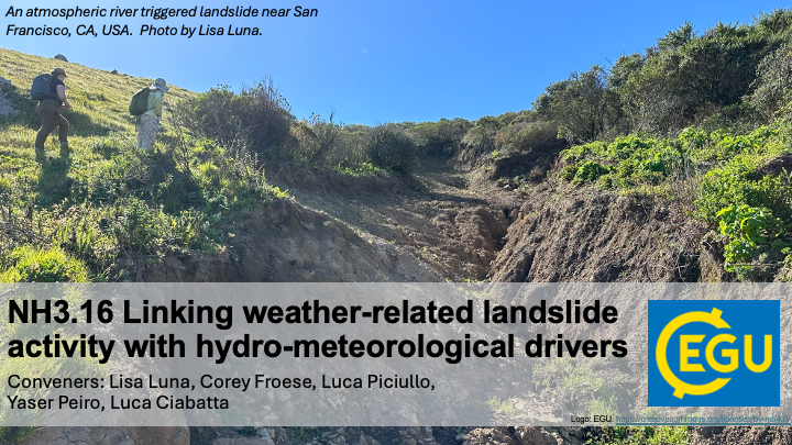
we’re introducing a NEW landslides session at EGU25: NH3.16 Linking weather-related landslide activity with hydro-meteorological drivers. Join us to explore how hydro-meteorological drivers at scales from soil pores to weather systems affect landslide activity and to discuss how we can leverage this knowledge to improve landslide situational awareness and early warning. We seek a wide range of perspectives from geomorphology, hydrology, meteorology, remote sensing, data science and beyond. Please spread the word and keep our session in mind as you prepare your EGU contributions.
We look forward to learning about your research in Vienna!
Best wishes from the organizers,
Lisa Luna, Corey Froese, Luca Piciullo, Yaser Peiro, Luca Ciabatta

Session description
NH3.16 Linking weather-related landslide activity with hydro-meteorological drivers
The growing availability of multi-temporal landslide inventories, for example from multi-epoch LiDAR, InSAR, and monitoring, has precipitated a shift from static landslide susceptibility evaluations to a better understanding of both spatial and temporal variations in landslide activity. In parallel, the development of regional to global hydroclimatic models, re-analysis products, next generation remote sensing products, and compilations of in-situ observations (such as ERA5, SMAP-L4, and GSDR) is allowing researchers to obtain a broader understanding of the hydro-meteorological conditions that affect landslide activity: for example soil moisture, snow melt, precipitation, and meso and synoptic scale weather systems. Currently, researchers and practitioners are exploring how linkages between historical landslide activity and hydro-meteorological drivers can be integrated to improve data driven models for landslide situational awareness and early warning systems. This session seeks to bring together a wide range of perspectives from geomorphology, hydrology, meteorology, remote sensing, data science and beyond to share experiences and to spur future research advances and operational application development.
Subtopics may include:
• Constructing multi-temporal landslide activity data sets utilizing remote sensing data and/or point source terrestrial data
• Linking regional landslide activity trends and variability to hydro-meteorological, geological, morphological, or other conditions.
• Evaluating the suitability of different hydroclimatic models, re-analysis datasets, remote sensing products, and in-situ observations to different landslide and terrain types or research objectives
• Approaches to quantifying linkages between hydro-meteorological drivers and landslide activity
• Development and testing of new algorithms and infrastructure, including machine and deep learning approaches, to support weather-related landslide situational awareness and warning