To advance the understanding of landslide hazard and risk, this Forum will provide a platform for academics and practitioners to share insights and experience gained from research and practice. The Forum focuses on four themes, namely (1) Probabilistic slope stability assessment, (2) Climate impact on slope stability and landslides, (3) Landslide mobility and (4) Landslide risk assessment and mitigation.
The event will be conducted in a virtual mode. Participation at the event is free of charge, but registration is compulsory and should be completed online.
NEWS received from Luca Piciullo, Dalia Kirschbaum, Neelima Satyam, Samuele Segoni, and Stefano Luigi Gariano
The EGU General Assembly 2022#EGU22 will return as an in-person/hybrid event to Vienna, Austria, from 3-8 April 2022, once again bringing together geoscientists from all over the world. The session entitled “Towards reliable Landslide Early Warning Systems” is now open to receive your contributions.
The session focuses on LEWSs at both regional and local scales. The session wishes to highlight operational approaches, original achievements and developments useful to operate reliable (efficient and effective) local and territorial LEWSs. Contributions addressing the following topics are welcome: – rainfall thresholds definition for warning purposes; – monitoring systems for early warning purposes; – warning models for warning levels issuing; – performance analysis of landslide warning models; – communication strategies; – emergency phase management.
The deadline for abstract submission is 12 January 2022, 13:00 CET.
For those applying for EGU Roland Schlich travel support, the deadline is 1 December 2021, 13:00 CET. Only EGU members with a valid 2022 membership will be able to submit abstracts to EGU22 and, with a few exceptions, only one abstract as first author will be permitted.
Note on presentation format: if you plan on participating virtually, you should submit your abstract to a vPICO session, since the oral/poster sessions will not provide the possibility for virtual presentation. If you plan on attending in-person in Vienna, feel free to submit to any session, vPICO as well as oral/poster sessions.
Looking forward to receiving your contributions and to meeting you all (in person or virtually) soon! Luca Piciullo, Dalia Kirschbaum, Neelima Satyam, Samuele Segoni, Stefano Luigi Gariano
NEWS received from Davide Tiranti, Regional Agency for Environmental Protection of Piedmont region, Italy
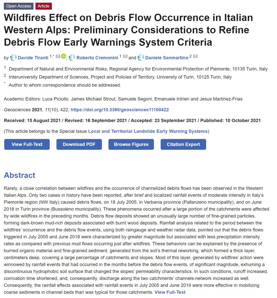
New article “Wildfires Effect on Debris Flow Occurrence in Italian Western Alps: Preliminary Considerations to Refine Debris Flow Early Warnings System Criteria” published in the special issue of Geosciences journal on “Local and Territorial Landslide Early Warning Systems“
In this paper, two case studies in the Italian western Alps on the relationship between wildfires and debris flows occurrence have been analyzed to understand how to integrate this factor in the regional debris flow early warning system (DFEWS). To define these correlations, the authors conducted analyses to characterize changes in the conditions and behavior of catchments after wildfires. The Curve Number (CN) method was adopted to estimate hydrological variations before and after wildfires and identify the differences in catchments response to rainfall events, due to its simple applicability over a large number of catchments. Rainfall analyses, using both data from raingauges and weather radars to identify the actual distribution of precipitation intensity fields, were addressed. The case studies described have led to some interesting results, both regarding the understanding of the wildfires effects on debris flows triggering in small Alpine catchments and on the necessary technical and operational adjustments to improve the DFEWS performance in case of wildfire occurrence.
Reference: Tiranti D., Cremonini R., Sanmartino D. (2021) Wildfires Effect on Debris Flow Occurrence in Italian Western Alps: Preliminary Considerations to Refine Debris Flow Early Warnings System Criteria. Geosciences 11, 422. https://doi.org/10.3390/geosciences11100422
NEWS received from Mirianna Budimir, Practical Action, SHEAR Knowledge Broker
The Science for Humanitarian Emergencies and Resilience (SHEAR) programme funded by FCDO and UKRI NERC supports world-leading research to enhance the quality, availability and use of risk and forecast information.
SHEAR is delighted to share with you three complementary resources that bring together learning and knowledge from across SHEAR and published literature to provide an introduction to landslide early warning systems for practitioners, donors, and researchers in developing countries:
The Introduction to Landslide Early Warning Systemsresource provides an overall introduction to rainfall triggered landslides and the differences between local and regional early warning systems.
The Introduction to Local Landslide Early Warning Systemsresource includes an overview of monitoring and warning methods, the role of community engagement, and challenges to local landslide early warning systems.
We hope these introductory guides are useful for the LandAware community. For further information on the SHEAR programme and associated landslide projects and publications, please visit http://shear.org.uk.
Presentation of the LandAware network at WLF5, the 5th World Landslide Forum “Implementing and Monitoring the Sendai Landslide Partnerships 2015-2025” (2-6 November 2021, Kyoto, Japan)
NEWS received from Paulo Hader – São Paulo State University (UNESP)
New article: Risk cross-referencing for landslide risk assessment at a municipal scale, by Paulo Hader and co-authors from São Paulo State University, Brazil
This recently published paper proposes a model for landslide risk assessment at the municipal scale, useful for early waninrg purposes. Three products, being rainfall thresholds, landslide susceptibility map and social vulnerability map were produced statistically. To couple them, the authors used a two-matrix approach, where in the first matrix the susceptibility map and the vulnerability map were crossed, constituting the socio-natural criterion; and in the second matrix, the rainfall thresholds were coupled to the socionatural criterion, allowing a real-time assessment. The authors found that the model offers easy adaptation and calibration once new data emerges, as well as being able to be integrated into a landslide early warning system to make explicit the areas of highest degree of loss, where interventions can be made in advance to reduce the risk in specific areas.
Reference: Hader, P.R.P., Reis, F.A.G.V. & Peixoto, A.S.P. (2021) Landslide risk assessment considering socionatural factors: methodology and application to Cubatão municipality, São Paulo, Brazil. Natural Hazards. https://doi.org/10.1007/s11069-021-04991-4
The second meeting of the “eLearning” Working Group was held on October 5, 2021. The recording is available on our YouTube channel (video embedded below).
The third meeting of the “LEWS Data” Working Group was held on September 20, 2021. The recording is available on our YouTube channel (video embedded below).
Title of PhD Thesis: “Landslide and debris flow warning at regional scale. A real-time system using susceptibility mapping, radar rainfall and hydrometeorological thresholds for Catalonia (NE Spain).”
PhD-candidate: ROSA MARIA PALAU BERASTEGUI
University: UPC BarcelonaTech
Time, day: Thursday, September 23th 2021, 10:30 (CEST)
NEWS received from Adrian Wicki PhD StudentSwiss Federal Research Institute WSL Mountain Hydrology and Mass Movements Research Unit Zürcherstrasse 111 CH-8903 Birmensdorf
In a recently published article we assess the potential of simulated soil moisture for regional landslide early warning. For this study, soil moisture variation was simulated with a physically-based 1D soil water transfer model and forecasst goodness for landslides was assessed using a statistical landslide forecast model. In direct comparison with in-situ measured soil moisture we found that the overall representativeness for regional landslide occurence is high, however that it is particularly challenging to well characterize critical antecedent wetness conditions.
Wicki, A., Jansson, P.-E., Lehmann, P., Hauck, C., and Stähli, M.: Simulated or measured soil moisture: which one is adding more value to regional landslide early warning?, Hydrol. Earth Syst. Sci., 25, 4585–4610, https://doi.org/10.5194/hess-25-4585-2021, 2021.