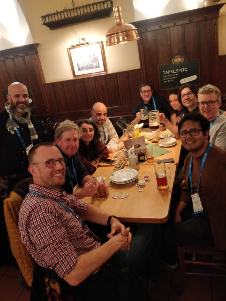
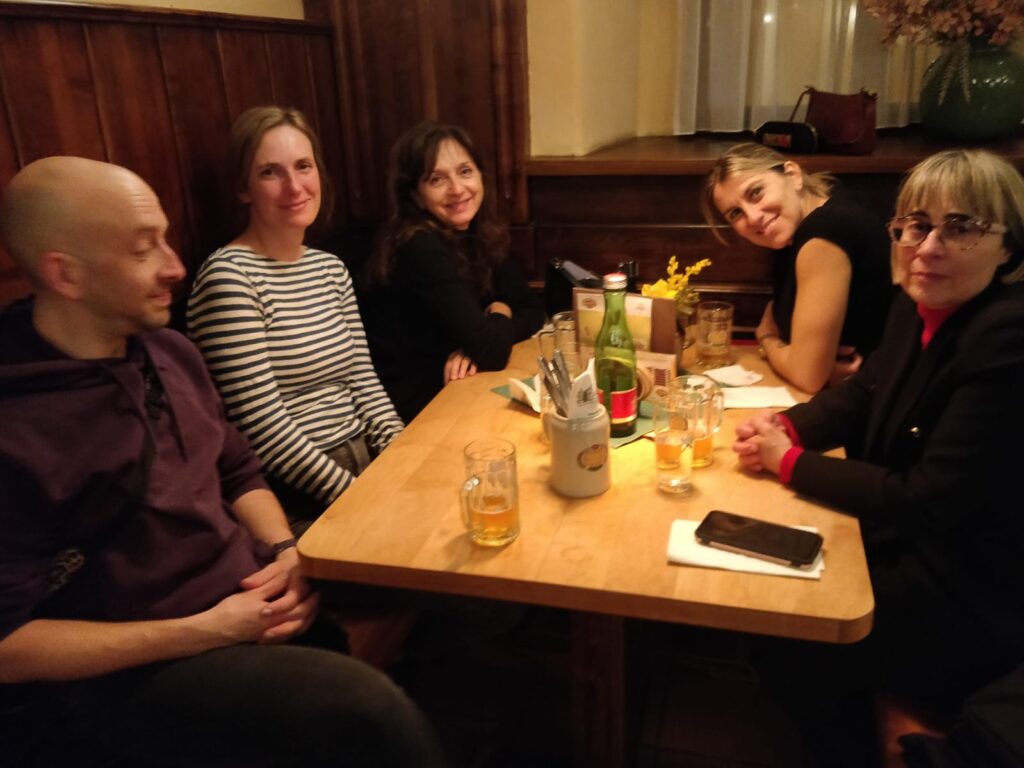
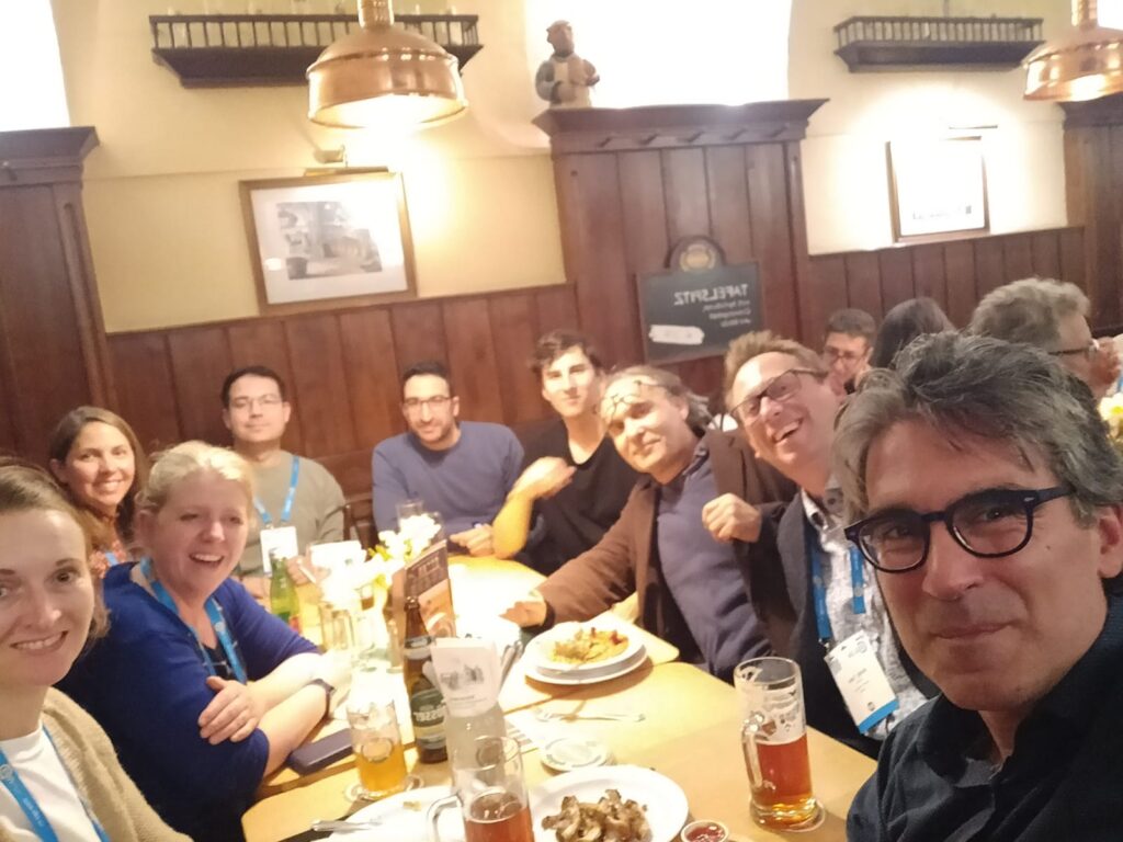
Just like the last years, we would like to take advantage of the fact that some LandAware members will be in Vienna at #EGU25 in April/May… to get together for one evening, to meet and talk in person.
The get-together will be an informal dinner with good Austrian beer, self-funded by the participants (unfortunately LandAware doesn’t have any funding to manage), in a restaurant/brewery: Salm Brau. We suggest we meet there at 7:30 PM.
If you are in Vienna on that day, and you like the idea, we ask you to FILL THIS FORM as we need to know in advance the number of people participating (a reservation is necessary in that place).
The recordings of the WG5 webinar “Using Big Data for Postfire Debris Flow Situational Awareness” by Francis Rengers (U.S. Geological Survey) , held on 9 January 2025, are available on the LandAware YouTube channel:
This session focuses on LEWS at all scales and stages of maturity, from prototype to active and dismissed ones. Test cases describing operational application of consolidated approaches are welcome, as well as works dealing with promising recent innovations, even if still at an experimental stage. Contributions addressing the following topics are welcome: – real-time monitoring systems (IoT) – prediction tools for warning purposes – in-situ monitoring instruments and/or remote sensing devices – warning models for issuing warning – operational applications and performance analyses – machine learning techniques applied for early warning purposes
The abstract submission deadline is 15 January 2025, 13:00 CET.
On-site participants who wish to apply for Roland Schlich travel support must be the contact author and the first and presenting author of their contribution. They must submit an abstract by 2 December 2024, 13:00 CET.
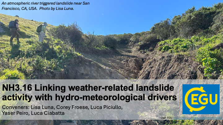
Dear colleagues, we’re introducing a NEW landslides session at EGU25: NH3.16 Linking weather-related landslide activity with hydro-meteorological drivers. Join us to explore how hydro-meteorological drivers at scales from soil pores to weather systems affect landslide activity and to discuss how we can leverage this knowledge to improve landslide situational awareness and early warning. We seek a wide range of perspectives from geomorphology, hydrology, meteorology, remote sensing, data science and beyond. Please spread the word and keep our session in mind as you prepare your EGU contributions.
We look forward to learning about your research in Vienna! Best wishes from the organizers, Lisa Luna, Corey Froese, Luca Piciullo, Yaser Peiro, Luca Ciabatta
The growing availability of multi-temporal landslide inventories, for example from multi-epoch LiDAR, InSAR, and monitoring, has precipitated a shift from static landslide susceptibility evaluations to a better understanding of both spatial and temporal variations in landslide activity. In parallel, the development of regional to global hydroclimatic models, re-analysis products, next generation remote sensing products, and compilations of in-situ observations (such as ERA5, SMAP-L4, and GSDR) is allowing researchers to obtain a broader understanding of the hydro-meteorological conditions that affect landslide activity: for example soil moisture, snow melt, precipitation, and meso and synoptic scale weather systems. Currently, researchers and practitioners are exploring how linkages between historical landslide activity and hydro-meteorological drivers can be integrated to improve data driven models for landslide situational awareness and early warning systems. This session seeks to bring together a wide range of perspectives from geomorphology, hydrology, meteorology, remote sensing, data science and beyond to share experiences and to spur future research advances and operational application development.
Subtopics may include: • Constructing multi-temporal landslide activity data sets utilizing remote sensing data and/or point source terrestrial data • Linking regional landslide activity trends and variability to hydro-meteorological, geological, morphological, or other conditions. • Evaluating the suitability of different hydroclimatic models, re-analysis datasets, remote sensing products, and in-situ observations to different landslide and terrain types or research objectives • Approaches to quantifying linkages between hydro-meteorological drivers and landslide activity • Development and testing of new algorithms and infrastructure, including machine and deep learning approaches, to support weather-related landslide situational awareness and warning
NEWS received from Ugur Öztürk (Universtiy of Potsdam, Germany)
Dear colleagues,
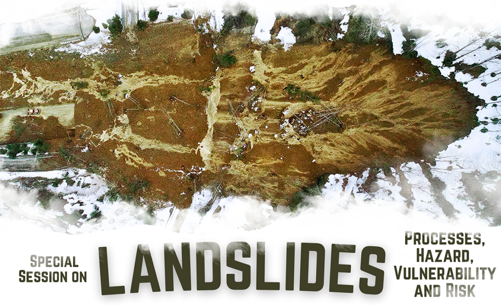
this year, there is an exciting conference in Barcelona—the Mediterranean Geosciences Union (MedGU) annual meeting—between 25 and 28 November. It is the largest meeting dedicated to exchanging ideas on addressing critical societal and environmental challenges in the Mediterranean Region from the geoscience perspective.
Among several engaging sessions, we (Tolga Görüm, Olivier Dewitte, Anika Braun. Ugur Öztürk) suggested one dedicated to the landslide theme (Landslides: Processes, Hazard, Vulnerability, and Risk). Among these broad themes, we want to particularly emphasize landslide prediction and early warning. Hence we invite you to submit an abstract to this special session or any other at MedGU24.
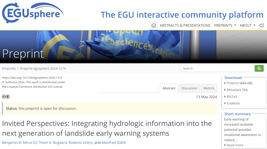
We would like to draw your attention to a new NHESS Invited Perspectives, which is now posted online. The paper focuses on lessons learned from our collective experiences with integrating hydrologic information into landslide forecasting models in different parts of the world, as well as ideas for future research needs and opportunities.
As with all EGUsphere articles, the paper is fully open access and free to read. We hope you will find it interesting and perhaps it can facilitate further discussions within the LandAware community. The preprint is open for discussion through June 24, and we would value your input whether formally or informally.
The recordings of the webinar by NASA and Pacific Disaster Center on Landslide Hazard Awareness held on April 11, 2024 (info here) can be found on the LandAware YouTube channel:
LandAware webinar “Landslide Hazard Awareness – NASA & PDC cooperation to support decision-making”
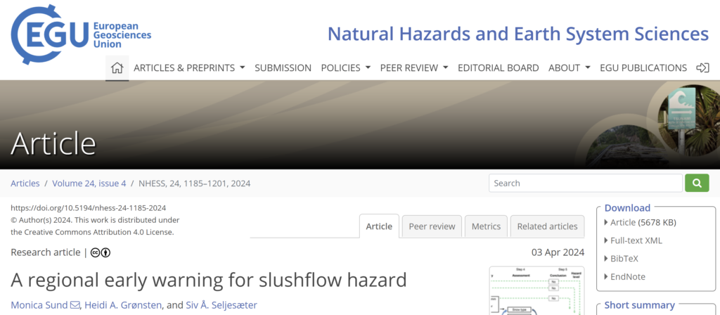
Slushflows are rapid mass movements of water-saturated snow. They release in gently sloping locations (<30°) and are hence not restricted to steep slopes. Slushflows are observed worldwide in areas with seasonal snow cover and pose a significant natural hazard in Norway. Hazard prediction and early warning are therefore crucial to prevent casualties and damage to infrastructure.
A regional early warning for slushflow hazard was established in Norway in 2013–2014 as the first of its kind in the world. It has been operational since then. Four main variables are central in the methodology used: ground conditions, snow properties, air temperature, and water supply to snow. Gridded forecasting model simulations in the decision-making tool Varsom Xgeo, real-time data from automatic stations, and field observations from the field are assessed. Based on data from historical slushflows, a water supply–snow depth by snow type ratio has been developed as an assessment tool. This approach can be implemented in other areas with slushflow hazard where the necessary input data are available.
Reference: Sund, M., Grønsten, H. A., and Seljesæter, S. Å.: A regional early warning for slushflow hazard, Nat. Hazards Earth Syst. Sci., 24, 1185–1201, https://doi.org/10.5194/nhess-24-1185-2024, 2024.