NEWS received from
Catherine Pennington (British Geological Survey)
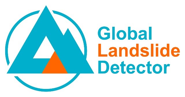
The British Geological Survey, the European-Mediterranean Seismological Centre and the Qatar Computing Research Institute have built a new Global Landslide Detector tool.
This machine learning tool extracts data automatically in 32 languages from social media in real-time, identifying landslides in photographs and placing them on the global map.
The tool is not intended to be used in isolation during a disaster scenario but could complement existing disaster workflows and provide new and timely data, taking into consideration the limitations described in the paper and data biases. It could also bring efficiency savings for data acquisition for landslide databases.
This first iteration of the tool involves more extensive model training experiments and a larger dataset than previous research.
Request for feedback:
The authors are asking the LandAware community to engage with the tool and feedback is requested on several elements including:
- Expanding and refining the landslide keywords used to extract tweets
- General feedback about the tool using the feedback form
- Collaboration and engagement for future interations and applications
The paper: Pennington, C.V.L., Bossu, R., Ofli, F., Imran, M., Qazi, U.W., Roch, J. and Banks, V. (2022) A near-real-time global landslide incident reporting tool demonstrator using social media and artificial intelligence. International Journal of Disaster Risk Reduction, v 77, 103089, 14 pp. https://doi.org/10.1016/j.ijdrr.2022.103089
The tool: https://landslide-aidr.qcri.org/service.php
For any enquiries, please contact Catherine Pennington at the British Geological Survey